

Orpington 1868 Kent Sheet 16.07 by Pamela Taylor
USD 5.05 USD
Specifications
| Type | Street Map/Directory |
| Author | Pamela Taylor |
| Publisher | Alan Godfrey Maps |
| Topic | Local History |
| Subject | History |
| Country Of Origin | United Kingdom |
| ISBN | 9780850547122 |
It was only in the 1920s that Orpington was transformed from a quiet Kentish village into a London suburb, says author Pamela Taylor, and this map captures it in its early rural existence. The southern part of the map has the village centre, with All Saints church, the British School, White Hart inn, remains of an old priory, Broomhill Common, and a few good sized houses near the crossroads. The main (unnamed) road runs in a NE direction across the map to New Town, near Northfield, where we find three planned streets. Nearby is the Corn Mill. Eastward the map extends down country lanes to houses called Ramsden and Petting Grove. On the reverse are directories for Orpington in 1869 and 1875.
Related Items

Granville Colliery & Priorslee Hall 1901 Shropshire 36.12 by Barrie Trinder
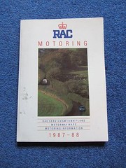
RAC Motoring Book 1987 – 1988 Town plans maps services etc

Ordnance Survey Sheet 14 Lairg, 7th Series 1958

A-Z, Middlesbrough, Street Atlas, Early Non Coloured Maps 🗺️ Edition 4, 1996

Admiralty Small Craft Chart 5621_18: Irish Sea & Saint Georges Channel

Gold Stars: Children’s Picture Atlas (Gold Stars S.) by Gold Stars Hardback The
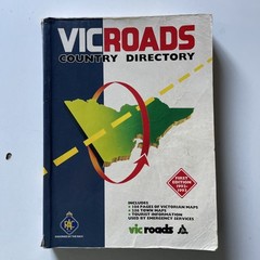
VicRoads Country Directory First Edition 1992-1993 Great Condition

Castlefield 1848 Manchester Sheet 32 by Chris Makepeace (Sheet map, folded)