
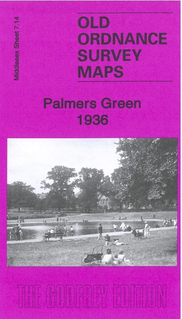
Palmers Green 1936 Middlesex Sheet 7.14 by Pamela Taylor
USD 4.95 USD
Specifications
| Type | Street Map/Directory |
| Author | Pamela Taylor |
| Publisher | Alan Godfrey Maps |
| Topic | Local History |
| Subject | History |
| Country Of Origin | United Kingdom |
| ISBN | 9781787213777 |
This map shows Palmers Green developing rapidly either side of the GNR Enfield Branch and Green Lanes which run north-south through the cantre of the map. Coverage stretches from Warwick Road eastward to Huxley Farm and Blind Lane, and from St John's church southward to Tottenhall Road, Whittington Road and St Michael's church, at Bowes. Features include railway with Palmers Green station, tramways, bus depot, Skinners Almshouses, isolation hospital, Broomfield Park, Council Offices, Kings Arms Bridge, Truro House, St Mary's church, Old Park House, Chequers Works, cinemas, etc
Related Items

Ordnance survey Landranger map 201 Plymouth & Launceston, 2008

Denoyer Geppert EUROPEAN HISTORY ATLAS with Text 1964 – Breasted Huth Harding

Vintage World Travel Maps Joblot 22 Various Countries
Imray Chart Pack 2100: Kent and Sussex Coasts
Ipswich – Old 1969 Ordnance Survey One-Inch Map Sheet 150 Inc Clacton and Walton

Ordnance Survey Explorer Maps, silver stripe covers. Choose one or more

O/S Ordnance Survey Maps Bundle Joblot x 50,lot 3

The Nine Lives of Montezuma by Michael Morpurgo (Paperback Book)