
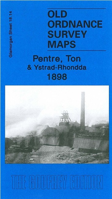
Pentre, Ton & Ystrad-Rhondda 1898 Glamorgan Sheet 18.14 by Derrick Pratt
USD 5.04 USD
Specifications
| Type | Street Map/Directory |
| Author | Derrick Pratt |
| Publisher | Alan Godfrey Maps |
| Topic | Local History |
| Subject | History |
| Country Of Origin | United Kingdom |
| ISBN | 9781847842565 |
This detailed map continues our coverage of the Rhondda Valley. It covers Pentre, Ton and the northern part of Ystrad-Rhondda. Features include Maendy Farm, Maendy Hall, Capel Caersalem, Taff Vale Railway Rhondda Branch with Ystrad station, Church Quarry, Mynydd yr Eglwys, Bodringallt Colliery, old coal levels, Rhondda Engine Works, Pentre Collieries, Ty'n-y-bedw Colliery, St Peter's church, industrial tramways, etc. On the reverse we include 1906 commercial directories for Pentre and Ystrad.
Related Items

Dartmoor (Book)

OS Ordnance Survey 1″ Seventh Series 142 Hereford – 1952 on cloth

Admiralty Small Craft Chart 5612_10: Approaches to Donaghadee Sound

MAP OF Grantham & Sleaford 1898 One Inch Sheet 127 by Barrie Trinder

Ordnance Survey Explorer Map 106: Newquay & Padstow (2008).
OS Ordnance Survey One Inch Cloth Map-Kidderminster-Sheet 130 1947-VG

Ordnance survey map Landranger series West London sheet 176 scale 1:50 000

Vintage OS Landranger Map Saxmundham Aldeburgh Suffolk Sheet 156 1990s Series