
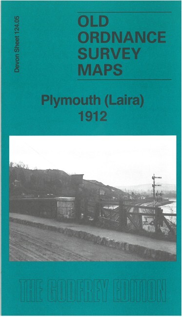
Plymouth (Laira) 1912 Devon Sheet 124.05 by Richard Oliver
USD 4.99 USD
Specifications
| Publication Year | 2024 |
| Type | Street Map/Directory |
| Author | Richard Oliver |
| Publisher | Alan Godfrey Maps |
| Topic | Local History |
| Subject | History |
| Country Of Origin | United Kingdom |
| ISBN | 9781787217942 |
This map covers the eastern part of Plymouth around Laira and Mount Gold. Features include Borough Hospital, Mount Gold, St Simon's church, River Plym, The Laira, St Mary & All Saints church, Saltram Farm, Chelson Meadow, race course; railways incl Laira Junction, Laira Yard, Lipson Junction, Mount Gold Junction, Friary Junction, engine shed, Yealmpton Branch, Cattewater Junction; Plymouth & Dartmoor Tramway, Saltram Point etc. We include an introduction by Richard Oliver and extracts from a 1906 directory.
Related Items

Arundel & District 1881 One Inch Sheet 317 by Barrie Trinder
Ordnance Survey Landranger Map Saxmundham, Aldeburgh & Southwold #156

Vintage Bartholomew’s Revised Half Inch Contoured Map Herts & Bucks – 1951 (15)

Vintage Ordnance Survey One Inch Cloth Map, Bristol & Newport, 155, 1946

Old Vintage Maps & Guides bundle. OS maps. Over 80 maps. Collectable interest.
Barnett’s Cambridge Street Plan with Index Detailed Old Vintage Map

Thurso & Wick Ordance Survey Sheet no. 12 (special library edition) Scotland map

Nick Burton Bolton (North) 1908 (Map) Old O.S. Maps of Lancashire