
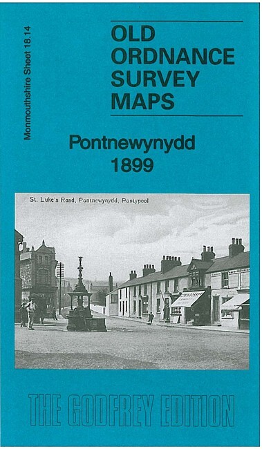
Pontnewynydd 1899 Monmouthshire Sheet 18.14 by Derrick Pratt
USD 4.75 USD
Specifications
| Type | Street Map/Directory |
| Author | Derrick Pratt |
| Publisher | Alan Godfrey Maps |
| Topic | Local History |
| Subject | History |
| Country Of Origin | United Kingdom |
| ISBN | 9781847846761 |
This detailed map covers Pontnewynydd and the area westward to Plas-y-coed and Llanerch Colliery. Features include Pontnewynydd itself with individual buildings neatly shown, GWR Eastern Valleys railway with station, Cwm-ant-ddu Branch, Cwm Ffrwd-oer Branch, Eastern Valleys loop line, Pentre-piod, Cwm-nant-ddu, Elled Colliery, Tranch Wood, St Luke's Church, Plas-y-coed, many railway sidings and junctions, old coal shafts, Waunfelin, Pontnewynydd Junction, Brewery, Pontypool Bakery, Play-y-coed Colliery, Greenland Colliery, Sheet & Galvanizing Works etc. On the reverse we include a 1906 directory of Pontnewynydd.
Related Items

Ordnance Survey Landranger map 140: Leicester, Coventry & Rugby MINT
Vintage OS Landranger Map (1:50000) Sheet 164 – Oxford – c1979
Swindon NW 1899 or 1922 Wiltshire Sheet 15.03

Eye, Stowmarket & District 1897 One Inch sheet 190 by Robert Malster
Hornsea 1916 Yorkshire Sheet 197.03 by Susan Neave

1985 OS Tourist Map 8 Cotswold

1. LATVIA & RIGA TRAVEL REFERENCE MAP 1:460,000/8,000 By Itmb Publishing Ltd NEW

Bermondsey (NE) & Wapping (SW) 1872-94 London Large Scale 7.87 by Pamela Taylor