

Portchester 1937 Hampshire Sheet 75.11 by Tony Painter
USD 5.00 USD
Specifications
| Type | Street Map/Directory |
| Author | Tony Painter |
| Publisher | Alan Godfrey Maps |
| Topic | Local History |
| Subject | History |
| Country Of Origin | United Kingdom |
| ISBN | 9781787213364 |
This detailed map of Portchester is double-sided for maximum coverage. The main map covers the village of Portchester, including New Town, Methodist church, Trafalgar Wharf, etc, with coverage extending east to Portsmouth Racecourse, Paulsgrove and Paulsgrove Halt. On the reverse we include a large part of adjacent sheet 75.15 extending coverage south to include Portchester Castle, St Mary's church and part of Horsea Island.
Related Items
MAP OF Sherborne 1901: Dorset Sheet 6.13 Godfrey, Alan NEW

OS Ordnance Survey Landranger Map Sheet 116 Denbigh & Colwyn Bay area – 1986
AZ South East and Central England Regional Road Map and Index
Cotswolds Wyedean – Vintage Official Tourist Map 8 – Road Map and Gazetteer
Ordnance Survey 1:25,000 First Series Map Sheet SS 61 Chulmleigh

Alan Godfrey North Chadderton and SW Royton 1932 (Map)
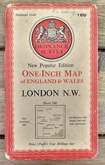
Ordnance Survey One-Inch Map 160 LONDON N W New Popular 6th Edition 1945
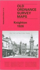
Knighton 1926 Radnorshire Sheet 11.14 by Barrie Trinder