

Prestatyn 1910 Flintshire Sheet 1.12 by Derrick Pratt
USD 5.04 USD
Specifications
| Type | Street Map/Directory |
| Author | Derrick Pratt |
| Publisher | Alan Godfrey Maps |
| Topic | Local History |
| Subject | History |
| Country Of Origin | United Kingdom |
| ISBN | 9781847843647 |
This detailed map is double-sided for maximum coverage. The main map covers most of the town centre, with coverage running from the High Street westward to Towyn-Isaf, southward to Pen-r'hwylfa. Features include railway with station, section of Prestatyn & Cwm Branch, Christ Church, Victoria Road, Warrington Summer Camp. On the reverse we include a good section of adjacent sheet 2.09 extending coverage eastward to Gronant Road, Pendre Avenue, Linden Walk, Nant Mill, Homefield, and southward to Limestone Quarries.
Related Items

Central Hackney 1870-93 London Large Scale Sheet 7.08
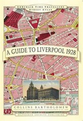
A Guide to Liverpool 1928 by John Bartholomew (Hardback Book)

Admiralty Small Craft Chart 5600_3: Eastern Solent and Approaches

Esso South And West England Road Map No 3 (Vintage folding sheet map) 1960’s
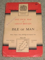
OS Ordnance Survey 1″ Seventh Series Maps – good condition, 1950s on paper
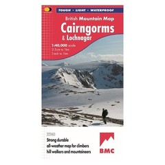
British Mountain Map Cairngorms Lochnagar Harvey BMC Approved Waterproof Tough
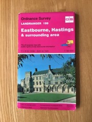
1992 Ordnance Survey Landranger Map 199 Eastbourne , Hastings And Surrounding
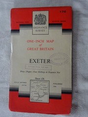
VINTAGE OS MAP EXETER TOPSHAM TIVERTON EXMOUTH HONITON TEIGNMOUTH SILVERTON 1960