

Queensbury 1932 Yorkshire Sheet 216.09 by John Hargreaves
USD 5.05 USD
Specifications
| Type | Street Map/Directory |
| Author | John Hargreaves |
| Publisher | Alan Godfrey Maps |
| Topic | Local History |
| Subject | History |
| Country Of Origin | United Kingdom |
| ISBN | 9781847845702 |
This detailed map covers the village of Queensbury and the area north and west. Queensbury itself, with Black Dyke Mills, is in the SE corner of the map. Features here include tramway, Holy Trinity church, the mills, and individual buildings neatly shown. The railway is shown in tunnel. Other hamlets and settlements across the map include Mountain, Yews Green, Hill Top, Clayton Edge, West Scholes Gate, Raggalds, White Castle Brewery and the Bradshaw Lane area. On the reverse we include a 1936 directory of Queensbury and Mountain.
Related Items
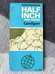
Bartholomew Map Cardigan Aberystwyth Wales Vintage 70s 1971 Paper ½” FreePost UK

Dronfield 1897 Derbyshire Sheet 18.01 by Alan Godfrey

Wales and West Midlands OS Routemaster 7 Map Free Postage
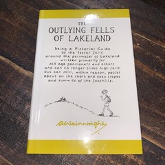
Outlying Fells of Lakeland Hardcover A. Wainwright

Family History on the Web: An Internet Directory for England and Wales (10a)
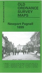
Newport Pagnell 1899 Buckinghamshire Sheet 10.02 by Edward Legg

Times Atlas of the World by UK HarperCollins (Hardcover, 2004)
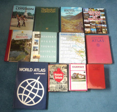
VINTAGE BRITISH ROAD MAPS / GUIDES AND WORLD ATLAS – HARD BACK – JOB LOT