
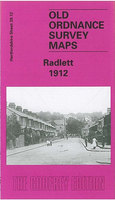
Radlett 1912 Hertfordshire Sheet 39.12 by Pamela Taylor
USD 5.01 USD
Specifications
| Type | Street Map/Directory |
| Author | Pamela Taylor |
| Publisher | Alan Godfrey Maps |
| Topic | Local History |
| Subject | History |
| Country Of Origin | United Kingdom |
| ISBN | 9781841512990 |
This detailed Ordnance Survey Map shows Radlett in 1912. Much of the northern half of the map is filled by fields, farmland and a golf course. The Midland Railway runs through the centre of the map, from north to south, with the Station being close to a Recreation Ground and just north of a Roman Catholic Church.
Related Items
INVERURIE & ELLON Scotland Ordnance Survey 1 In Sh 40 Popular Edition 1946 CLOTH

FIRTH OF FORTH Sheet 7 Fifth Series Ordnance Survey Quarter Inch 1964 colour map

THE ENGLISH LAKES 4 5 6 7 DISTRICT SET OL EXPLORER ORDNANCE SURVEY MAPS OS LOT
Ordnance Survey 1:50000 First Series Sheet 136 Newtown & Llanidloes 1974
SCARBOROUGH Ordnance Survey Sheet TA08 1:25,000 1954 National Grid Filey

Coventry 1887 (Coloured Edition) or 1905 Warwickshire Sheet 21.12
MAP OF Wordsley 1901: Staffordshire Sheet 71.05, Hill, Stan NEW
OS Ordnance Survey Landranger Map 176 West London area – 1990