
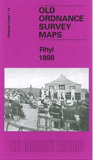
Rhyl 1898 Flintshire Sheet 1.14 by Kay Parrott
USD 5.04 USD
Specifications
| Type | Street Map/Directory |
| Author | Kay Parrott |
| Publisher | Alan Godfrey Maps |
| Topic | Local History |
| Subject | History |
| Country Of Origin | United Kingdom |
| ISBN | 9781847847379 |
This detailed map is double-sided for maximum coverage. The main map covers most of the town, from Rhyl Bridge eastward to the Grand Pavilion. Features include railway with station, Rhyl Bridge, Foryd Hall, Palace Theatre, St John's church, Wellington Terrace, town centre with individual buildings neatly shown, Town Hall, Grand Pavilion, Holy Trinity church, St Thomas church, engine shed, Morfa Hall, Claremont Hydropathic, Bryn-tirion Farm, Ty'n Rhyl, Bethel Chapel, Morfa-bach, St Ann's church, Yacht Farm, Cefndy Road etc. On the reverse we include adjacent sheet 1.10 extending coverage northward to include Rhyl Promenade Pier, Bijou Pavilion, Morannedd, Marine Hydropathic.
Related Items

Wigan (Marus Bridge 1907 Lancashire Sheet 93.15 by Alan Godfrey

Leeds Stations 1847 – 1863 Leeds Large Scale Sheet 14
Bolton Great Moor Street 1847 Bolton Large Scale 12 by Alan Crosby

GREAT BRITAIN ROAD ATLAS RAC Exceptionally Clear & Informative

LUDLOW Ordnance Survey One Inch Sheet 129 1967 Leominster Kington
Vintage London A-Z Millennium Edition 1999/2000 Geographers’ Street Atlas Map

Luton & Darland 1932 Kent Sheet 19.12 by Pamela Taylor

Vintage Ordnance Survey Map Sheet 25 Portree Skye Seventh Series 1963