
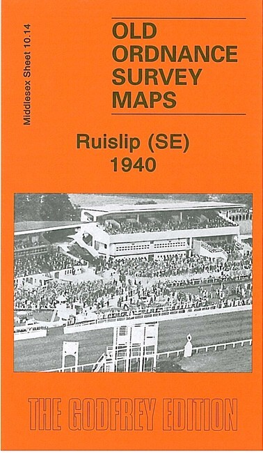
Ruislip (SE) 1940 Middlesex Sheet 10.14 by Peter Hounsell
USD 5.02 USD
Specifications
| Type | Street Map/Directory |
| Author | Peter Hounsell |
| Publisher | Alan Godfrey Maps |
| Topic | Local History |
| Subject | History |
| Country Of Origin | United Kingdom |
| ISBN | 9781847844101 |
This very detailed map covers the SE part of Ruilsip and parts of Harrow and Northolt. Coverage stretches from Bridgwater Road eastward to Carlyon Avenue, and from Shaldon Drive southward to Walnut Way. Features include LNER and GWR railways with South Ruilsip & Northolt Junction station, west part of Northolt Park racecourse, Francis Organ Works, schools and streets of housing, much of it from the 1920s and 1930s. On the reverse we include a 1929 railway timetable for the London to High Wycombe line.
Related Items
Bellahouston 1909 or 1935 Lanarkshire Sheet 6.13

Swanlinbar & Cuilcagh Mountain 1899 Irish One Inch Sheet 56 by Alan Godfrey
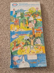
Vintage Esso Wales & South West England Folding Map No 3. 1978

Bundle X53 Vintage & Modern Maps UK Areas & Regions Ordnance Survey Landranger
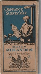
ORDNANCE SURVEY MAP. MIDLANDS (S) 1920. 1/4 inch to 1 mile. SHEET 8. LINEN

OS PATHFINDER 1226 SHEET TQ 04/14 DORKING MAP 1:25 000 SCALE

South West England – Ordnance Survey OS Sheet 15 Quarter Inch Map – 1969

Shrewsbury – Ordnance Survey Seventh Series One Inch Map 1961 Sheet 118