
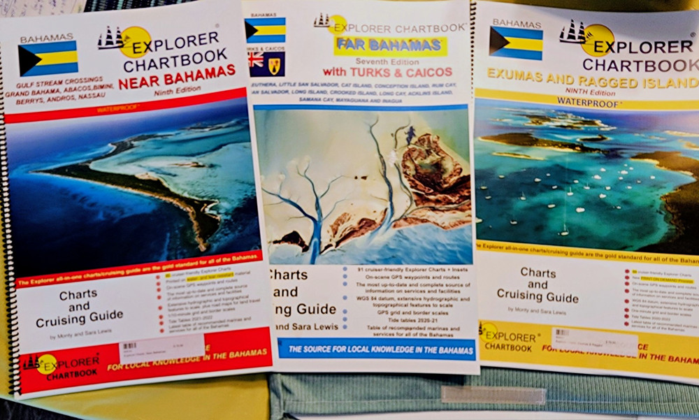
Set Of 3 Explorer Chartbook Cruising Guides: Bahamas, Exumas, Turks & Caicos
USD 169.00 USD
Specifications
| Format | Book |
| Publication Name | Explorer Chartbook |
| Author | Monty Lewis, Sara Lewis |
| Map Scale | 1:50,000 |
| City | Nassau |
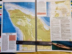
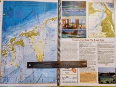
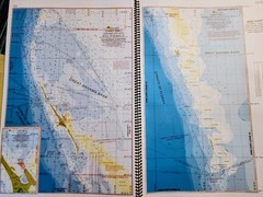
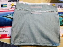
This is a set of three NEVER USED Explorer Chartbook cruising guides focusing on the Bahamas, Exumas, and Turks & Caicos Islands. Authored by Monty and Sara Lewis, these books offer detailed nautical charts and cruising information for navigators exploring these nautical regions. With a map scale of 1:50,000 and featuring the seventh and ninth editions, the guides provide essential insights for navigating the waters of the Ragged Islands, Near Bahamas, Far Bahamas, and Exumas. Additionally, they are waterproof and perfect for use in all weather conditions while cruising in Nassau or other cities in the Caribbean. This set comes with a custom made storage bag to keep these invaluable nautical dry and clean.
Related Items

50 Places in Rome, Florence and Venice Every Woman Should Go: Includes Budget…
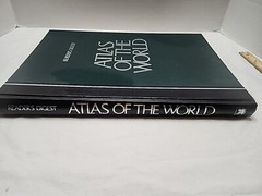
Reader’s Digest Atlas of the World by Reader’s Digest
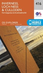
Inverness Loch Ness Culloden Map Fort Augustus by Ordnance Survey
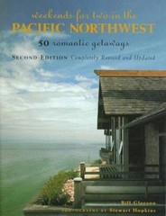
Weekends for Two in the Pacific Northwest: 50 Romantic GetawaysSecond…
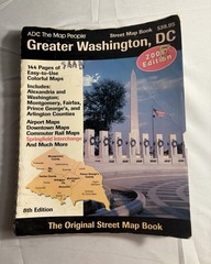
ADC Map People Greater Washington DC 8th Edition 2005 Street Map Book
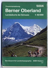
Berner Oberland: Landeskarte Der Schweiz 5004 Switzerland Map 1981 1:50,000
Atlas of the World by Oxford University Press

The California Coast: A Traveler’s Companion by Donald B. Neuwirth