
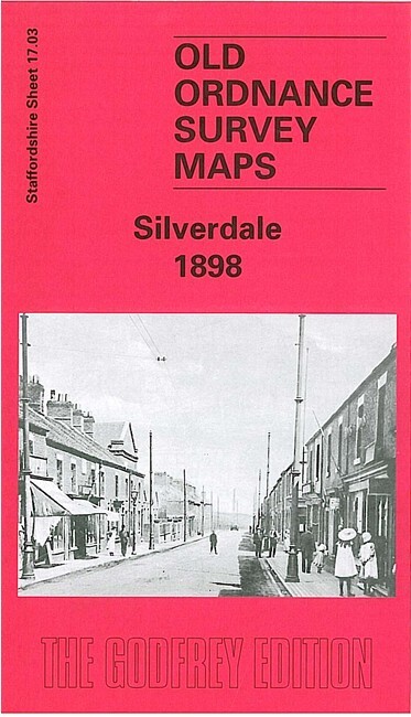
Silverdale 1898 Staffordshire Sheet 17.03 by Malcolm Nixon
USD 5.06 USD
Specifications
| Type | Street Map/Directory |
| Author | Malcolm Nixon |
| Publisher | Alan Godfrey Maps |
| Topic | Local History |
| Subject | History |
| Country Of Origin | United Kingdom |
| ISBN | 9781841515557 |
This detailed map covers most of the village of Silverdale, west of Newcastle-under-Lyme. Coverage stretches from Silverdale station eastward to Knutton Iron Works. Features include St Luke's church, NSR railway with Silverdale station, old shafts, Wall Plantation, Rosemary Hill Tile Works, Milbank Colliery, Cemetery, Knutton Manor Colliery, Knutton Farm, Knutton Forge Junction, Newcastle Workhouse. On the reverse we include an 1893 directory of Silverdale.
Related Items
Canada 1:600,000 ITMB Toronto and Southern Ontario Map inc. Toronto Street Map

West Twickenham and Strawberry Hill 1894… by Griffiths, John Sheet map, folded
VINTAGE BARTHOLOMEW’S HALF INCH TO MILE CLOTH MAP EXMOOR SHEET 35

OS Map of Newquay & Padstow 1:25,000 Explorer series – Sheet 106
MAP OF Halifax (South) 1905 Yorkshire Sheet 231.09 NEW 9780850546644

ORDNANCE SURVEY SHEET MAP SALISBURY & THE PLAIN SHEET 184 NO RIPS TEARS VGC

Imray Chart Pack 2000: Suffolk and Essex Coasts
MAP OF Cardigan & St Dogmaels 1904 Pembrokeshire Sheet 2.12 by Alan Leather NEW