
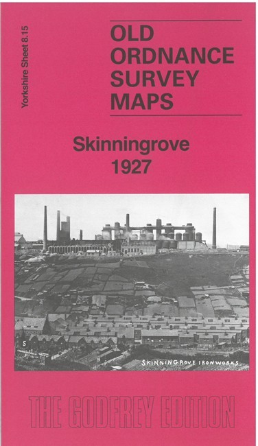
Skinningrove 1927 Yorkshire Sheet 8.15 by Alan Godfrey
USD 4.78 USD
Specifications
| Type | Street Map/Directory |
| Author | Alan Godfrey |
| Publisher | Alan Godfrey Maps |
| Topic | Local History |
| Subject | History |
| Country Of Origin | United Kingdom |
| ISBN | 9781787218796 |
This map is dominated by the great Skinningrove Iron works that stands high on the cliffs, shown here in great detail, with its railway network, blast furnaces, travelling cranes tanks and other features. It also includes Skinningrove village and part of Carlin How. Specific features include the Zig-Zag railway, LNER railway with Carlin How junction, Craggs Hall Mines, St Helen's church, Skinningrove Farm, Jetty, Cattersty Sands, Skinningrove Beck, Old Hall, etc. The map is double-sided to extend northward to Skinningrove tarmacadam works.
Related Items

Vintage Ordnance Survey One Inch Map Of Cape Wrath
SPMaps Street Plan & Guide to Bournemouth &Poole Including Christchurch 30th Ed

SCOTLAND & SHETLAND ISLANDS 10 AA 1920’S TOURING MAPS ( 2 Miles To An Inch)

Atlas of Ocean Adventures: A Collection of Natural Wonders, Marine Marvels…

Ottery St Mary 1903 Devon Sheet 70.13 by Richard Oliver

EASTERN HIGHLANDS 1973 Paper Ordnance Survey Quarter Inch Map Sheet 5 Grampians

Vintage 1948 C.S. Hammond American History Atlas Geography Maps Reference Info

Judo Mastering the Art By Alex Butcher