
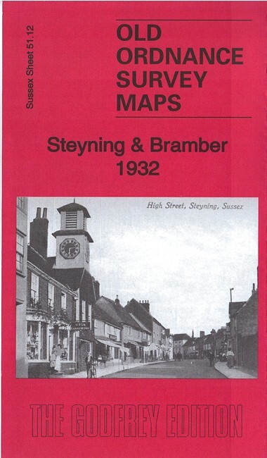
Steyning & Bramber 1932 Sussex Sheet 51.12 by Richard Oliver
USD 4.99 USD
Specifications
| Type | Street Map/Directory |
| Author | Richard Oliver |
| Publisher | Alan Godfrey Maps |
| Topic | Local History |
| Subject | History |
| Country Of Origin | United Kingdom |
| ISBN | 9781787210585 |
This detailed map covers both Steyning and Bramber, with cover stretching eastward to St Peter's church Upper Beeding. Features include Steyning town centre with all buildings neatly shown, St Andrew's church, Newham Farm, Sir George's Place, leather factory, railway station, King's Barn, River Adur, Bramber village centre, Bramber station, Bramber Castle remains, Maudlin Farm, Beeding Bridge, Maudlin House, Little Drove, Heathens Burial Corner, etc.
Related Items

Rand McNally Atlas Of World History Edited R.R.Palmer, Hardcover. Coffee Table
OS LANDRANGER MAP 193 TAUNTON & LYME REGIS ORDNANCE SURVEY

A to Z Street Plan of Rochdale (Folding map) Edition 6, 1989

MELWAY GREATER MELBOURNE STREET DIRECTORY 1987 17th EDITION
MAP OF Bolton Town Centre 1847 Bolton Large Scale Sheet 9 by Alan Crosby NEW

Kingston upon Thames 1895 Surrey Sheet 6.16 by Richard Oliver

Cleveland Way British Map Hiking Walking Path Route National Trail Harvey Maps
North Cray 1895 Kent Sheet 8.12 by Malcolm Barr-Hamilton