
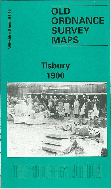
Tisbury 1900 Wiltshire Sheet 64.15 by Alan Godfrey
USD 5.04 USD
Specifications
| Type | Street Map/Directory |
| Author | Alan Godfrey |
| Publisher | Alan Godfrey Maps |
| Topic | Local History |
| Subject | History |
| Country Of Origin | United Kingdom |
| ISBN | 9780850547740 |
This detailed map of Tisbury is double-sided for maximum coverage. The main map covers the centre of the village, with coverage southward to Wallmead Farm, westward to Tuckingmill, eastward to Tisbury Mill. Features include St John's church, railway with station, Wiltshire Brewery, police station, Tisbury Workhouse, The Quarry, Court Street, Overhouse Farm, River Nadder etc. On the reverse we include a good section of adjacent 64.11, extending coverage northward to include Place Farm and Tithe Barn, Tisbury House, Weaveland Farm, Prospect House, Ashleywood Farm. Coverage extends to the southern end of Fonthill Lake.
Related Items
Reading & Salisbury Plain Bartholomew National Map 1:100 Scale #8 (1264)

Central Asia: Dushanbe Map Tajikistan Uzbekistan topographic hiking trekking

Stanford’s Map of England & Wales Showing Canals and Rivers Edward Stanford
Oxford and Abingdon (Local Red Book)

Denbigh & Wirral Sheet 25 Reprint of 1st Ed 1 inch Ordnance Survey Map
Vintage Bartholomew’s Revised Half-inch Contoured CLOTH Map Blue Cover
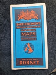
(1960) Bartholomew’s vtg Half Inch Contoured Map Dorset ( Yeovil & Weymouth

HAYNES ROAD ATLAS OF GREAT BRITAIN – 1985 PERIOD ACCESSORY / COLLECTORS ITEM