
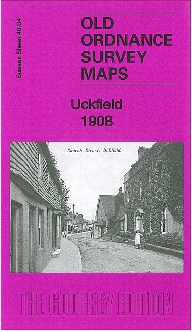
Uckfield 1908 Sussex Sheet 40.04 by Richard Oliver
USD 4.71 USD
Specifications
| Type | Street Map/Directory |
| Author | Richard Oliver |
| Publisher | Alan Godfrey Maps |
| Topic | Local History |
| Subject | History |
| ISBN | 9781847846815 |
This detailed map covers gives good coverage of the small town of Uckfield, with coverage stretching from the Agricultural College and Harcourt Road northward to Downland Farm, and from Butcher's Wood eastward to St Saviour's church. Features include railway with station, St Saviour's church, Uckfield House, Old Workhouse, The Rocks, Downland Farm, Holy Cross church, Public Hall, cottage hospital, The Grange, Copwood, abandoned railway, etc. On the reverse we include a 1905 commercial directory of Uckfield.
Related Items

Oxford Atlas of World History by Patrick K. O’Brien
Mid Finchley 1894, 1911 or 1934 London Sheet 5

Dartford NE & Long Reach 1939 Kent Sheet 9.03 by Alan Godfrey

2006 Sydney and Blue Mountains Street Directory UBD Large Paperback Book

MAP OF Central Nottingham 1899 Nottinghamshire Sheet 42.02 NEW 9780850549331

London For Everyman : Practical & Historical Guide Revised by John Freeman, 1960

Cheshunt 1912 Hertfordshire Sheet 41.08 by Barrie Trinder

Swindon, Highworth & District 1893 One Inch Sheet 252 by Barrie Trinder