

Upper Holloway 1869, 1894, 1914 or 1937 London Sheet 29
USD 5.02 USD
Specifications
| Date | 1869 |
| Type | Street Map/Directory |
| Publisher | Alan Godfrey Maps |
| Topic | Local History |
| Subject | History |
| Country Of Origin | United Kingdom |
The GNR main line runs north-south through the map, with many sidings, and part of the Canonbury Branch; Finsbury Park and Holloway stations are included, and the 1914 map has Drayton Park station. East of the railway is part of Highbury around Highbury House and Highbury Park, while north of this is a detached part of Hornsey, South Hornsey, incl Brownswood Park; the 1869 map has part of the New River here.
Related Items
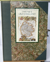
Classic Print Portfolio: County Maps of Old England. Thomas Moule 1991

Longton (West) 1898 or Longton (East) 1922 Staffordshire Sheets 18.10 or 1811

Derby (North) 1899 or 1913 Derbyshire Sheet 50.09
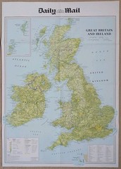
Daily Mail Map Of Great Britain and Ireland • 2 Sided Map – 2016 & 1884.
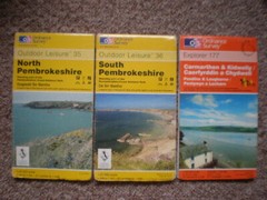
35 36 177 North South PEMBROKESHIRE OL OUTDOOR LEISURE ORDNANCE SURVEY MAPS OS

Weedon Bec 1899 Northamptonshire Sheet 43.12 by Barrie Trinder
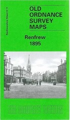
Gilbert T. Bell Renfrew 1895 (Map) Old Ordnance Survey Maps of Renfrewshire

St David’s 1906 Pembrokshire Sheet 20.03 by Derrick Pratt