
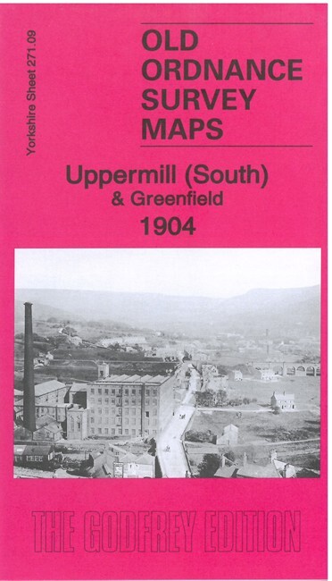
Uppermill (South) & Greenfield 1904 Yorkshire Sheet 271.09 by Alan Godfrey
USD 4.99 USD
Specifications
| Publication Year | 2021 |
| Type | Street Map/Directory |
| Author | Alan Godfrey |
| Publisher | Alan Godfrey Maps |
| Topic | Local History |
| Subject | History |
| Country Of Origin | United Kingdom |
| ISBN | 9781787214743 |
This detailed map covers the southern part of Uppermill, in Saddleworth parish. It includes part of Greenfield. Features include most of Uppermill village, LNWR Huddersfield & Manchester Line and Stalybridge & Diggle Loop Line, Greenfield station, Friezland Viaduct, Friezland and Uppermill stations, Huddersfield Canal, River Tame, Wellington Mills, Shaw Hall Bank, Rush Hill, Fur Lane, Boarshurst, Tunstead, etc
Related Items

5 Bartholomew’s Linen backed Revised Half-inch Contoured Maps Vintage UK

A to Z Street Atlas of Nottingham by Geographers’ A-Z Map Company (Paperback)

Hayes End 1894 Middlesex Sheet 15.05 by Peter Hounsell

G.I. Barnett’s Street Plan with Index – Bedford – c1985

OS Ordnance Survey 1″ to 1 mile Touring Map 8 The Cotswolds – 1997

1976 Ordnance Survey Pathfinder Map ST 44/54 Wells And Wedmore (incl Meare )

North Pennines: Teesdale and Wearda…, Ordnance Survey

Melway 2008 Greater Melbourne Street Directory Edition 35