
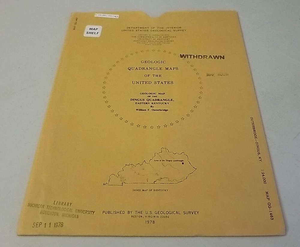
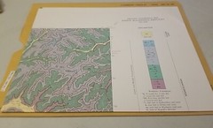
USGS Geologic Map Dingus Quadrangle, Eastern Kentucky w/Sleeve Folding Map
USD 14.39 USD
Specifications
| Country Of Origin | United States |
| Publisher | US Geological Survey |
| Subject | Maps |
| Publication Year | 1978 |
| Type | Geological Map |
| Language | American English |
| Country | United States |
| Author | Willian F. Outerbridge |
| Region | Kentucky |
| Map Scale | 1:24,000 |
USGS Geologic Map: Geologic Map of the Dingus Quadrangle, Eastern Kentucky. Authentic original folding paper map published by the US Geological Survey in 1978. Appears little-used with light to moderate wear on sleeve and light or less wear on map.
Related Items

1975 OGS Water Resources Oklahoma City Quadrangle Hydrologic Atlas 4, 4 Maps

River Cruising Atlas

READER’S DIGEST BARTHOLOMEW EVERYONES MAP OF BRITAIN UK Vintage 1981
4th Edition Minnesota DeLorme Atlas & Gazetteer 11″ x 15.5″ Topo Maps Road Guide

Genealogy Family Maps Montgomery County Indiana

Glamping with MaryJane: Glamour + Camping

National Geographic Atlas of the World 7th Edition Deluxe HC 1999 oversized

7 Vintage National Geographic Maps 1939, 1947 etc. See photo & description