

Vale of Clwyd & the Denbigh Uplands 1904 One Inch Sheet 107 by Derrick Pratt
USD 5.02 USD
Specifications
| Publication Year | 2002 |
| Type | One Inch Map |
| Author | Derrick Pratt |
| Publisher | Alan Godfrey Maps |
| Topic | Local History |
| Subject | History |
| Country Of Origin | United Kingdom |
| ISBN | 9781841514574 |
Coverage stretches from the hills of Moel Gyffylog, Mwdwl Eithin, Moel Seisiog and Cefn Rhydd eastward to Bodfari, and from St Asaph southward to Gyffylliog and Moel Llyn. Much of the south and west of the map is of the Denbigh Uplands, with the more populated area north and east, including the two towns on the map, Denbigh and St Asaph.
Related Items
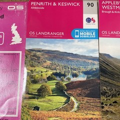
Landranger (90) Penrith & Keswick, Ambleside, Appleby 91, South Lakeland
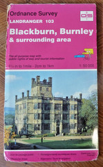
Ordnance Survey Paper Map Blackburn Burnley Sheet 103 Clitheroe Darwen Gargrave

Landranger Maps: Okehampton and North Da… by Ordnance Survey Sheet map, folded

Ian Roberts An Historical Map of Bradford (Map)

Penguin World Atlas Peter Hall 1974 Paperback Book

Fort Augustus, Glen Roy & Glen Moriston | Weatherproof | Ordnance Survey 34

Rome Map by Insight Guides (2009)

Atlas of World History Hammond Incorporated World Atlas