
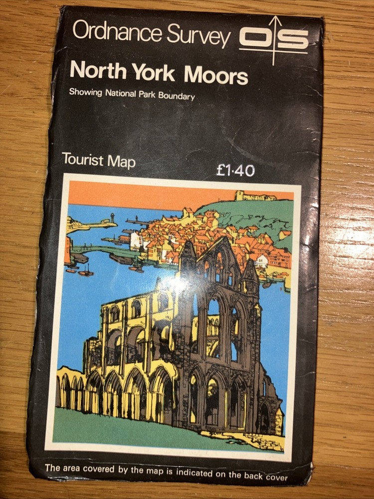
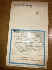


Vintage Ordnance Survey Tourist Map North York Moors 1979 Map
USD 3.00 USD
Specifications
| Publication Name | Ordnance Survey |
| Publisher | Ordnance Survey |
| City | North Yorkshire |
| Publication Year | 1979 |
| Type | Geological Map |
| Format | Sheet Map |
| Language | British English |
| Country | England |
| Author | Ordnance Survey |
| Region | North York Moors |
| Features | Folding Map |
| Map Scale | 1:63360 |
| Country Of Origin | United Kingdom |
Explore the North York Moors with this vintage Ordnance Survey tourist map from 1979. This geological map comes in sheet map format and is a great tool for navigating the area. The map is written in British English and published by Ordnance Survey, a trusted name in mapping. The map features a folding design and is in excellent condition, ready for your collection. The map scale is 1:63360 and it covers the North York Moors region of England. This map is a great addition to any collection of maps and atlases and perfect for those interested in geography and history.
Related Items

Marks & Spencer Mini Atlas Of Britain Hardcover Map 1992
Job lot of 8 vintage Ordnance Survey folded maps, C.1950s/60s, various UK
OS Ordnance Survey 1″ New Popular Edition, paper maps surplus stock to clear

Pendleton (North) 1915 or 1931 Lancashire sheet 104.01

Merton 1894 London Sheet 142
Ordnance Survey 1:25,000 First Series Map Sheet SP 76 Northampton (North)

Romsey, Andover and Test Valley (Map) OS Explorer Map

Truro & Falmouth Roseland Peninsula OS Landranger Ordanance Survey Map Sheet 204