
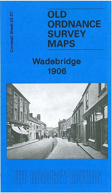
Wadebridge 1906 Cornwall Sheet 25.07 by Richard Oliver
USD 4.68 USD
Specifications
| Type | Street Map/Directory |
| Author | Richard Oliver |
| Publisher | Alan Godfrey Maps |
| Topic | Local History |
| Subject | History |
| Country Of Origin | United Kingdom |
| ISBN | 9781847843432 |
This detailed map covers the centre and east of Wadebridge, with coverage eastward to Lower Treworder. Features include Bodmin & Wadebridge Railway, North Cornwall line and station, River Camel, Cattle Market, Molesworth Street, Town Quay, Gonvena, Guineaport, Egloshayle, Trenant Girt, St Paul's church, Clapper, Trevarner, Higher and Lower Treworder, Trenant, etc. On the reverse we include a 1910 directory of Wadebridge.
Related Items
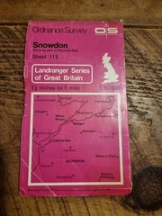
Snowdon OS Ordnance Survey Landranger Map Sheet 115 1:50000 Scale

OS Ordnance Survey 1″ New Popular Edition 183 Eastbourne, 1946 on paper
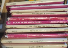
68× Map Collection Bundle Vintage/ordnance Survey/bartholomew’s And More

Bristol Bath & surrounding area OS Ordnance Survey Landranger Map Sheet 172 1983
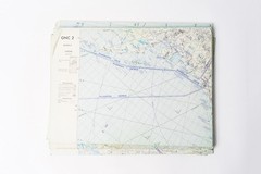
Vintage GNC Aviation Chart Set – Lot of 8 (1970s–1980s) | Global Navigation Char

Map North Devon Bartholomew Tourist Collectable Vintage ra

Ordnance Survey (OS) 1:25,000 First Series Map Sheet SN 87 Afon Elan
Castlederg & Newtownstewart 1900 Irish One Inch Sheet 25 by Séamus Mac Annaidh