
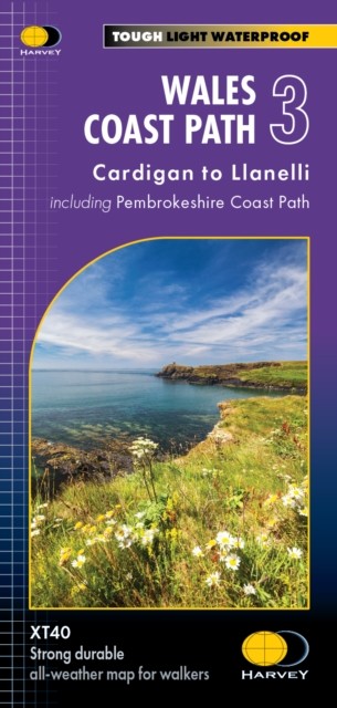

Wales Coast Path 3 (Sheet map, folded)
USD 25.48 USD
Specifications
| Author | Not Available |
| Publisher | Harvey Map Services Ltd |
| Publication Year | 2023 |
| Format | Sheet map, folded |
| Language | eng |
| Country Of Origin | United Kingdom |
| Item Height | 0.6 cm |
| Item Length | 13.8 cm |
| Item Weight | 66 g |
| Item Width | 24.9 cm |
| Publication Name | Not Available |
| Type | Not Available |
| ISBN | 9781851376629 |
The Wales Coast Path is a 1400km (870mile) long distance path along the entire coastline of Wales, from Chester in the north to Chepstow in the South. - The entire route on 4 maps - this is map 3 - Map 3 shows Cardigan to Llanelli, 398 km (248 miles) in length including the Pembrokeshire Coast Path National Trail . - A good two weeks' walking on one map - Information on accomodation and services - Lightweight, detailed, clear and easy to read - Printed on tough 100% waterproof, tearproof paper - GPS compatible.
Related Items

1992 Ordnance Survey Pathfinder Map 227 NJ 21/31 Strathdon (incl Badenyon )

Ordnance Survey Landranger 100 Map – Malton & Pickering & Helmsley- 1997
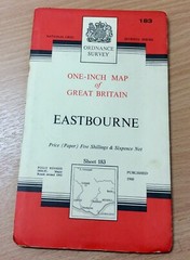
Vintage Ordnance Survey One Inch Map Of Eastbourne

1967 Esso South and East England Vintage Road Map

Bartholomew’s Map Ayrshire Scotland Vintage 60s 1962 Paper Half Inch FreePost UK

1974 OS first series map sheet 161 Abergavenny & Black Mountains, National Park

Chepstow & District 1894 One Inch Sheet 250 by Derrick Pratt

The Contemporary Atlas of China 1988 1st Edition Sivin, Wood, Brooke, .& Ronan