

Wigan (Marus Bridge 1907 Lancashire Sheet 93.15 by Alan Godfrey
USD 5.00 USD
Specifications
| Type | Street Map/Directory |
| Author | Alan Godfrey |
| Publisher | Alan Godfrey Maps |
| Topic | Local History |
| Subject | History |
| Country Of Origin | United Kingdom |
| ISBN | 9781847842510 |
This highly detailed map covers the SW area of Wigan stretching from Hawkley Hall southward to Park Lane Collieries. The Warrington Road runs north-south through the map. Features include Park Lane Collieries, Hawkley Hall, Ben Johnson Inn, Derbyshire House, Tan Pit Cottages, Cranberry Ley, LNWR Pemberton Branch, Hatton Hosue Far, tramways, Worthington Fold. On the reverse we include a six inches to the mile map for 1907, covering this area but also eastward to Bamfurlong Colliery and Moss Pits.
Related Items

Admiralty Small Craft Chart 5602_5: Falmouth Harbour
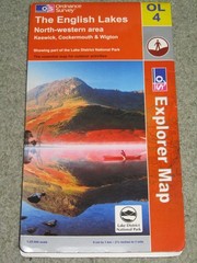
OS Ordnance Survey Outdoor Leisure / Explorer maps – very good condition

DK Atlas of the World 2006 Ed. Dorling Kindersley

(G46) Map of Aberdeen AB Postcode Sectors, Poster of Aberdeen Postcodes

OS Ordnance Survey Landranger Map Sheet 165 Aylesbury & Leighton 1974. T3
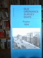
MAP OF Poplar 1894: London Sheet 065.2 by Isobel Watson 9781841512426 NEW

Yorkshire & Humberside A-Z Road Map – 3 Miles to the Inch
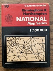
Bartholomew National Map Series 1:100 000 Birmingham & Northampton 19