
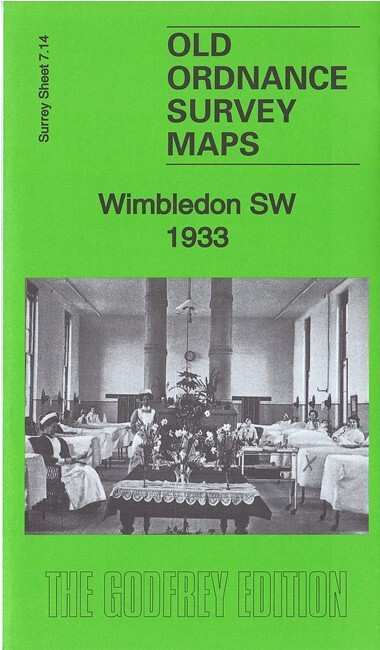
Wimbledon SW 1933 Surrey Sheet 7.14 by Richard Oliver
USD 4.99 USD
Specifications
| Type | Street Map/Directory |
| Author | Richard Oliver |
| Publisher | Alan Godfrey Maps |
| Topic | Local History |
| Subject | History |
| Country Of Origin | United Kingdom |
| ISBN | 9781787211575 |
This detailed map covers the SW part of Wimbledon, including the area around Raynes Park station. Features include railway with Raynes Park station, Cottenham Park area, St Matthew's church, RC Church of the Sacred Heart, Wimbledon College, King's College School, Crooked Billet, Copse Hill area, Christ Church, Holland Gardens, Atkinson Morley's Convalescent Hospital, Coombe Bridge etc
Related Items
OS Ordnance Survey 1″ New Popular Edition sheet 155 Bristol &Newport; 1946 cloth

YORKSHIRE DALES NORTH, HARVEY, SUPERWALKER, ACTIVE WATERPROOF EXPLORER MAP OS

Ordnance Survey Landranger Map 163 (Cheltenham) – great condition!
MAP OF Maidenhead Bridge & Taplow 1897 Berkshire Sheet 24.15 by Edward Sammes

Ordnance Survey Pathfinder 810 Map – Ashbourne/Churnet Valley – 1:25000 – 1985

Shirebrook 1914 Derbyshire Sheet 26.16 by Barrie Trinder

Ordnance Survey – Wales and the Marches Quarter Inch Map 1963

171 172 181 CHILTERN HILLS NORTH EAST WEST EXPLORER ORDNANCE SURVEY MAPS JOB LOT