

Woodley & Haughton Dale 1917 Lancashire Sheet 112.06 by Chris E Makepeace
USD 5.04 USD
Specifications
| Type | Street Map/Directory |
| Author | Chris E Makepeace |
| Publisher | Alan Godfrey Maps |
| Topic | Local History |
| Subject | History |
| Country Of Origin | United Kingdom |
| ISBN | 9781787211735 |
This detailed map covers the village of Woodley, NE of Stockport, and also part of Haughton Dale. Features include St Mark's church, Bredbury station, Woodley Junction, sections of several railways including Cheshire Lines Railway and Great Central & Midland Joint Railway, Woodley Iron Works, Top Mill, Peak Forest Canal, tramway, Botany Mill, Haughton Dale Mills, Unity Mills, Lingard Lane Collieries, Arden Hall, Castle Hill, old colliery and clay workings, etc.
Related Items
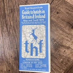
Trust Houses Forte Map and Tariff Guide to Hotels In Britain & Ireland 1977
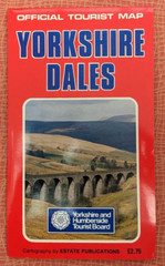
Yorkshire Dales: Official Tourist Map by Estate Publications (Sheet map, 1983)

MAP OF Chesham 1923 Buckinghamshire Sheet 39.09 by Pamela Taylor NEW
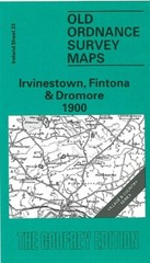
Irvinestown, Fintona & Dromore 1900 Irish One Inch Sheet 33 by Alan Godfrey
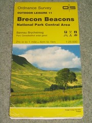
OS Ordnance Survey Outdoor Leisure 11 Brecon Beacons National Park Central, 1986
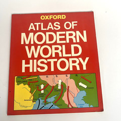
Oxford’s – Atlas of Modern World History – 1991 Revised Edition

Old Ordnance Survey Map Bridport 1901 Dorset Sheet 38.10 the Godfrey Edition
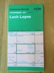
1976 Ordnance Survey Pathfinder Map 237 NH 00/10 Loch Loyne (incl Tomdoun )