
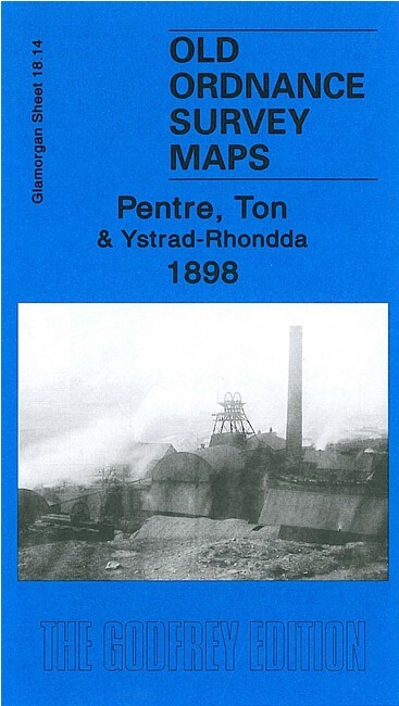
Pentre, Ton & Ystrad-Rhondda 1898 Glamorgan Sheet 18.14 by Derrick Pratt
USD 5.04 USD
Specifications
| Type | Street Map/Directory |
| Author | Derrick Pratt |
| Publisher | Alan Godfrey Maps |
| Topic | Local History |
| Subject | History |
| Country Of Origin | United Kingdom |
| ISBN | 9781847842565 |
This detailed map continues our coverage of the Rhondda Valley. It covers Pentre, Ton and the northern part of Ystrad-Rhondda. Features include Maendy Farm, Maendy Hall, Capel Caersalem, Taff Vale Railway Rhondda Branch with Ystrad station, Church Quarry, Mynydd yr Eglwys, Bodringallt Colliery, old coal levels, Rhondda Engine Works, Pentre Collieries, Ty'n-y-bedw Colliery, St Peter's church, industrial tramways, etc. On the reverse we include 1906 commercial directories for Pentre and Ystrad.
Related Items
Troon 1909 Ayrshire Sheet 22.13 by Jane MacLean

Ordnance Survey Sheet NT 26 NW Midlothian 1958 6″ Map Edinburgh Pentland Hill

Bartholomew World Travel Map – Middle East – Vintage – Scale 1:4,000,000 – Good
(G61) Map of St. Albans AL Postcode Sectors, Poster of St. Albans Postcodes
Brentford 1912 or 1935 London Sheet 83

South Derbyshire & NW Leicestershire 1896 One Inch Sheet 141 by John Gough NEW

1929 2ND IMP JOHN BROWN RAB AND HIS FRIENDS PETER DAVIES LTD IN VG CON

Netherton & Springfield 1914: Staffordsh… by Trinder, Barrie Sheet map, folded