
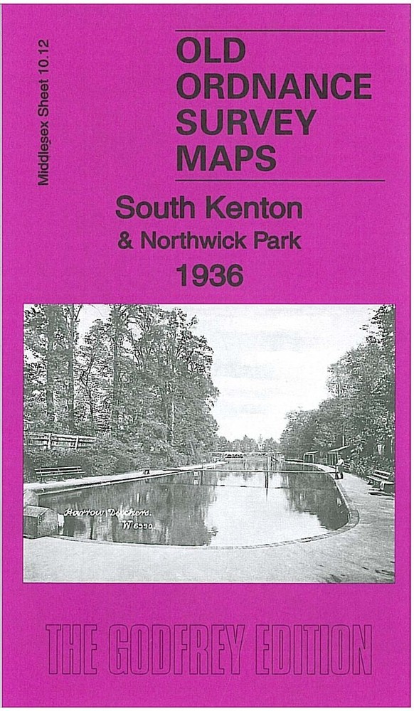
South Kenton & Northwick Park 1936 Middlesex Sheet 10.12 by Alan Godfrey
USD 5.00 USD
Specifications
| Type | Street Map/Directory |
| Author | Alan Godfrey |
| Publisher | Alan Godfrey Maps |
| Topic | Local History |
| Subject | History |
| Country Of Origin | United Kingdom |
| ISBN | 9781847845054 |
This detailed map covers parts of Wembley and Harrow, with coverage stretching from Paxford Road northward to Northwick Avenue, and from Peterborough Road eastward to Grasmere Avenue. Features include Northwick Park Golf Course, football grounds, Harrow School Bathing Place, LMS railway with South Kenton station, Metropolitan Railway with Northwick Park station, Chewing Gum Factory etc. We include a selection of street directory entries on the reverse, incl Abbots Drive, Carlton Avenue West, Northwick Avenue, The Fairway, The Ridgeway.
Related Items
National Geographic Society Atlas of World History

Vintage UK Road Map Bundle x10 Ordnance Survey Bartholomew’s Dorset
Geographers A-Z Street Atlas – Nottingham, Ilkeston, Long Eaton – 2013 7th Ed.

Shrewsbury & The Wrekin 1904 One Inch sheet 152 by Barrie Trinder
MAP OF Oakham 1903 Rutland Sheet 9.02 by Barrie Trinder NEW

Map North Devon Bartholomew Tourist Collectable Vintage ra

Vintage MOD Ministry of Defence Ordnance Survey Map 55 Perth Alloa 1969
Landranger 1:50000 Cased Edition Vintage Ordnance Survey Maps 1980/90’s see List