
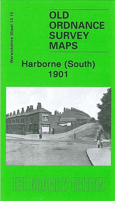
Harborne (South) 1901 Warwickshire Sheet 13.15 by Malcolm Nixon
USD 5.04 USD
Specifications
| Type | Street Map/Directory |
| Author | Malcolm Nixon |
| Publisher | Alan Godfrey Maps |
| Topic | Local History |
| Subject | History |
| Country Of Origin | United Kingdom |
| ISBN | 9781847843357 |
The map also includes Worcestershire sheet 5.15. This detailed map covers the southern part of Harborne and northern fringe of Northfield. Coverage stretches from Victoria Road southward to Weoley Park Farm and the northern tip of Selly Oak Park; and from Metchley Lane westward to Barnes Hill. Features include St Peter's church, Harborne Hall, Mill Farm, Dudley Canal, California area, site of Weoley Castle, Metchley Grange, The Grove, Harborne House, Gravel Bank, Welsh House Farm etc. On the reverse we include street directory entries for Harborne Lane, Metchley Lane, Northfield Road, Old Church Road, St Mary's Road, St Peter's Road and Victoria Road.
Related Items

OS Map Kids Apron – The Broads (General merchandise)

2023 Philip’s Road Atlas Britain and Ireland by Philip’s Maps (Paperback Book)
OS MAP BALLATER GLEN CLOVA CRAITHE BALLOCHAN MARYWELL FERN DYKEHEAD BRIDGEND VGC
Old Ordnance Survey Map – Godfrey Edition Goole & Howden District 1895 Sheet 79
Alan Godfrey Old Ordnance Survey Map Hampstead 1866 London Sheet 27 Historical

Central Birmingham 1902 or 1913 Warwickshire Sheet 14.05
Barnett’s Street Plan with index IPSWICH
Vintage Chevron CALIFORNIA Road Map Standard Stations Folding Paper Redwood Tour