

Bishop Auckland 1896 or 1915 County Durham Sheet 42.02
USD 5.00 USD
Specifications
| Date | 1896 |
| Type | Street Map/Directory |
| Publisher | Alan Godfrey Maps |
| Topic | Local History |
| Subject | History |
| Country Of Origin | United Kingdom |
The main map covers the town centre, with coverage stretching from Newton Cap Viaduct southward to the workhouse, and westward to the village of Escomb with its historic Saxon church; Etherley Moor and Etherley Dene are in the lower SW corner.
Related Items

Vintage Ordnance Survey Southampton Portsmouth Isle of Wight Map Sheet 141

MAP OF Peckham 1894 London Sheet 103.2
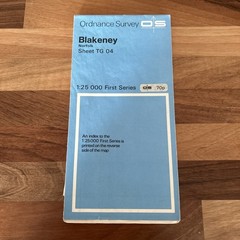
BLAKENEY – ORDNANCE SURVEY First Series 1:25,000 1955 TG04 salthouse

Vintage One Inch Ordnance Survey Map Sheet 165 Weston-Super-Mare, 1946 Paper

Bartholomew’s Revised Half Inch Contoured Map Vale Of Severn UK Cloth Map

Vintage Ordnance Survey Map Sheet 103 Blackburn & Burnley First Series
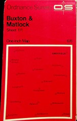
Ordnance Survey One-Inch 7th Series Map – Sheet 111- Buxton & Matlock

Keady, Castleblayney & Bessbrook 1900 Irish One Inch Sheert 59 by Alan Godfrey