
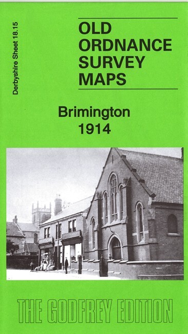
Brimington 1914 Derbyshire Sheet 18.15 by Barrie Trinder
USD 5.01 USD
Specifications
| Type | Street Map/Directory |
| Author | 9781787213142 |
| Publisher | Alan Godfrey Maps |
| Topic | Local History |
| Subject | History |
| Country Of Origin | United Kingdom |
This detailed map covers the village of Brimington, lying between Chesterfield and Staveley. Coverage extends westward to Sheepbridge & Brimington station. Features include Brimington, shown in detail with individual buildings; St Michael's church, Brimington Hall, Ringwood Hall, Hollingwood Common, New Brimington, Chesterfield Canal, Hounsfield Bridge, Brimington House, Sheepbridge & Brimington station, Great Central Railway Chesterfield Loop, stretch of MR North Midland Branch, etc. We include an 1895 directory of Brimington on the reverse.
Related Items

OS Landranger Map (1:50,000) Sheet 176 WEST LONDON AREA

JOB LOT 12 Ordnance Survey Maps bundle Pink British Britain 1:50000 Second Seri

Lifeboat at the End of the World by Dominic Gregory (Hardback Book)

MAP OF Coventry (North) 1912 Warwickshire Sheet 21.08 NEW 9781841518725

OS Ordnance Survey Landranger Map 1980, Sheet 158 – TENBY

Great Malvern (East) 1926 Worcestershire Sheet 40.09 by Alan Godfrey

OS Ordnance Survey 1″ New Popular Edition – 8 x England, 1940-47 on paper
OS 1:50,000 First Series map 1974 – Sheet 199, Eastbourne and Hastings