
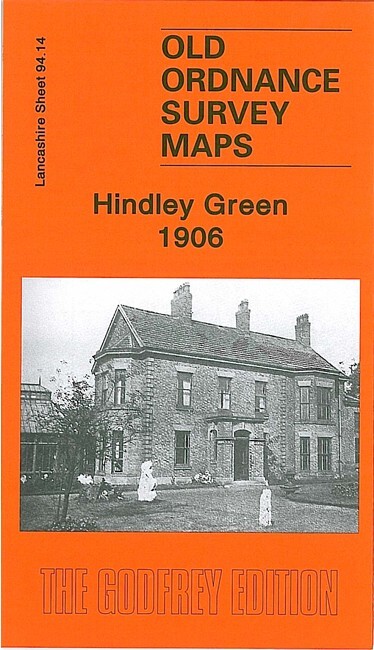
Hindley Green 1906 Lancashire Sheet 94.14 by Alan Godfrey
USD 5.00 USD
Specifications
| Type | Street Map/Directory |
| Author | Alan Godfrey |
| Publisher | Alan Godfrey Maps |
| Topic | Local History |
| Subject | History |
| Country Of Origin | United Kingdom |
| ISBN | 9781847843524 |
This detailed map covers much of Hindley Green, with coverage stretching from the Atherton Road southward to Tamer Lane End, and from Bickershaw Hall Farm eastward to Pickley Green. Features include railway with Hindley Green station, Springs Pit, Engine Pit, Hindley Green Hall, St James & St Elizabeth church at Bickershaw, St John's church, St Paul's church at Pickley Green, part of Westleigh (in bottom right corner), Tamer Lane End, Dangerous Corner, mineral lines, Carr Common Colliery, old shafts, Stonehouse Colliery. On the reverse we include a 1918 Hindley Green directory.
Related Items

Vintage Road Atlas 1939 – 3 Miles To 1 Inch – Town Maps – England Scotland Wales
VINTAGE BARTHOLOMEW’S CLOTH MAP OF CENTRAL ROSS-SHIRE – NEW REDUCED SURVEY

Peterborough, Market Deeping & Chatteris by Ordnance Survey (Sheet map, folded)

Vintage Ordnance Survey Landranger Stranraer Glenluce 1986 Map 82

Ordnance Survey 1:25,000 First Series Map Sheet SP 73 Buckingham (East)

THETFORD, DISS & BRANDON – by Barnett’s circa 2005

Vintage 1920s ? Through Route Map London & Suburbs EJ Larby scarce

1895 Peoples Family Atlas Maps England Wales Cuba Europe