
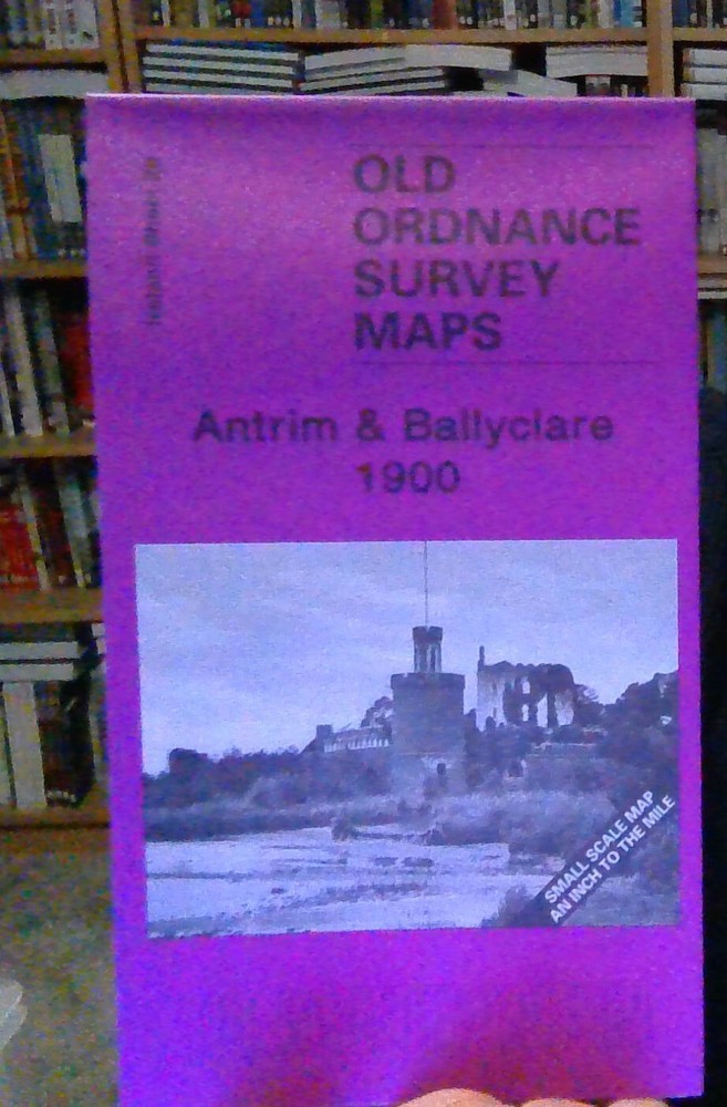
MAP OF Antrim & Ballyclare 1900 Irish One Inch Sheet 28 by Alan Godfrey NEW
USD 4.72 USD
Specifications
| Type | One Inch Map |
| Author | Alan Godfrey |
| Publisher | Alan Godfrey Maps |
| Topic | Local History |
| Subject | History |
| ISBN | 9781847843494 |
Features include the towns of Antrim, Ballyclare and Randalstown; railways including the long lost lines to Randalstown, Ballyclare and Doagh; the north Belfast suburbs of Legoniel and Whitehouse, incl Belfast Castle and Cave Hill; the Aldergrove area, part of Lough Neagh, Shanes Castle, Upton Castle, Muckamore Abbey etc.
Related Items
Cambridge (East) incl Romsey Town 1925 Cambridgeshire Sheet 47.03 by Tony Kirby

Officer Factory by Hans Hellmut Kirst (Hardback, 1979) RARE

The Aran Islands (Paperback)

MAP OF Maidenhead Bridge & Taplow 1897 Berkshire Sheet 24.15 by Edward Sammes

Stephen Humphrey Bermondsey and Wapping 1872 (Map) Old O.S. Maps of London

Deptford (High Street) 1868-94 London Large Scale Sheet 11.30 by Pamela Taylor

Durham City 1894 or 1915 County Durham Sheet 27.01

Kegworth 1899 Leicestershire Sheet 10.02 by Barrie Trinder