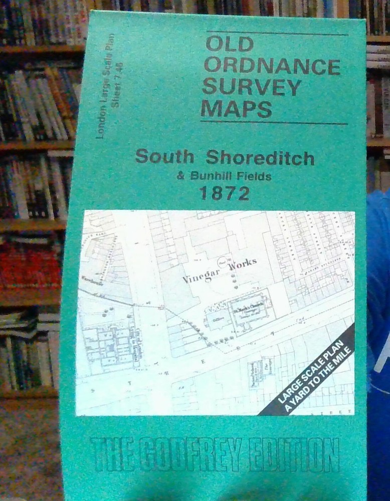
MAP OF South Shoreditch & Bunhill Fields 1872 London Large Scale Sheet 7.46 NEW
Specifications
| Return Postage Will Be Paid By | Buyer |
| Returns Accepted | Returns Accepted |
| After Receiving The Item, Your Buyer Should Cancel The Purchase Within | 30 days |
| Publication Year | 1995 |
| Type | Street Map/Directory |
| Publication Name | N/A |
| Author | David Mander |
| Publisher | Alan Godfrey Maps |
| Topic | Local History |
| Subject | History |
Here are the details of the map for the South Shoreditch area: London Large Scale Series Sheet 7.46 South Shoreditch & Bunhill Fields 1872 - published 1995. Intro by David Mander. ISBN.978-0-85054-718-4 This highly detailed map at a 'Yard to the Mile' scale covers the busy south Shoreditch area, with coverage stretching from Bath Street and Bunhill Row eastward to the former North London line towards Broad Street station. Major roads through the map are Curtain Road, Old Street and City Road. Features include St Luke's Hospital, shown in some detail; Bunhill Fields Burial Ground; St Paul's church Bunhill Row, Honourable Artillery Company's Headquarters, Royal London Militia Headquarters, St Mark's church Old St, Whitfield Tabernacle, St James church Curtain Rd, St Michael's church, Leonard Square, Hoxton Square, Charles Square, Town Hall, Shoreditch station, National Standard Theatre; many of these show internal latout. On the reverse we include street directory entries for Bunhill Row, City Road, Curtain Road, Hoxton Square, Leonard Street, Tabernacle Row, Tabernacle Walk. The map links up with Sheets 7.47 Bethnal Green West to the east, 7.56 Finsbury Square to the south.
Related Items

![Atlas Of The World [2004, Hardcover w/ Dust Jacket]](https://yeymaps-support.com/images/zyUAAOSwUHtgy-iY/atlas-of-the-world-2004-hardcover-w-d-240.webp)