

Wimborne Minster 1900 Dorset Sheet 34.08 by Alan Godfrey
USD 5.04 USD
Specifications
| Type | Street Map/Directory |
| Author | Alan Godfrey |
| Publisher | Alan Godfrey Maps |
| Topic | Local History |
| Subject | History |
| Country Of Origin | United Kingdom |
| ISBN | 9780850543353 |
This detailed map is double-sided to provide maximum coverage. The main map covers the area from Little Pamphill eastward to the town centre, and beyond that to St Johns Hill and Avenue Road; also from Walford Bridge southward to Poole Road. Features include the Minster church, Julian Brewery, East Brook, Town Brewery, Westfield, West Borough, Wimborne & Cranborne Workhouse, East Street, cemetery, Rowlands, Knobcrook, Walford Bridge, Stone Lane, St Margaret's Almshouses, Julian's Bridge, River Stour, Stone Park, Farrs, Netherwood Mead, Gillingham's Almshouses. On reverse is more than half of adjacent map 35.05 which covers railway station, Cattle Market, Leigh, Green Close Dairy, Leigh Common, Leigh Vinery.
Related Items

Titanic Reference Map Fold-Out Guide 2nd Edition 2006 Maritime History

PORLOCK Ordnance Survey Sheet SS84 Two & Half Inch MAP 1962 Oareford
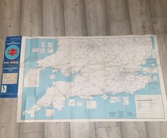
British Rail System Map England & Wales south ( A Geographia Map) 1977 (Large)
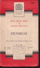
Denbigh National Grid Ordnance Survey One-Inch Map #108 1961 Cloth 7th Series

Barnett’s Aylesbury tring Andover street plan with index.

STANFORDS MAP – TIBET – Kathmandu – Lhasa Route Map 1 : 1 Million Scale

Bartholomew’s Revised “Half-Inch” Contoured Maps – Sheet 13 – Wye Valley

Helmsdale and Strath of Kildonan by Ordnance Survey (Sheet map, folded)