
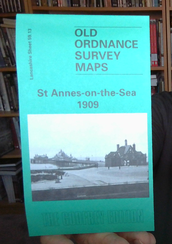
MAP OF St Annes-on-the-Sea 1909 Lancashire Sheet 59.13 by Martin Ramsbottom NEW
USD 4.93 USD
Specifications
| Type | Street Map/Directory |
| Author | Martin Ramsbottom |
| Publisher | Alan Godfrey Maps |
| Topic | Local History |
| Subject | History |
| Country Of Origin | United Kingdom |
| ISBN | 9780850549478 |
This detailed map covers much of the resort of St Annes, developed from 1875 by the St Annes-on-the-Sea Land & Building Company. In 1922 the town merged with Lytham to become Lytham St Annes. Our map covers an area from North Promenade eastward to Fairhaven, and from Nelson Street southward to the coast. Features include the station, tramways, St Thomas church, pier, Grand Hotel, St George's Hall, golf links, Lawrence House. On the reverse we include adjacent sheet 67.01, showing a small area to the south, incl King Edward VII School. Also included is an 1897 LNWR railway timetable.
Related Items

Vintage 1970s Ordnance Survey Bournemouth Sheet 179 One-Inch Map Britain OS Map

Malcolm Nixon Birmingham (South) 1888 (Map)

MAP OF Oundle 1899 Northamptonshire Sheet 19.05 by Barrie Trinder
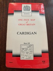
Vintage Ordnance Survey Cardigan Sheet 139 One Inch Map Wales

Vintage 1967 Ordnance Survey Seventh Series Map OXFORD & NEWBURY Sheet 158

MAP OF Rhondda Valley & Pontypridd 1904-14 One Inch Sheet 248 by Derrick Pratt
Bromsgrove 1926 Worcestershire Sheet 15.16 by Malcolm Nixon

South Downs Way by Harvey Map Services Ltd. (Sheet map, folded)