

North Kent Coast 1878 One Inch Sheet 273 by John Whyman
USD 5.00 USD
Specifications
| Type | One Inch Map |
| Author | John Whyman |
| Publisher | Alan Godfrey Maps |
| Topic | Local History |
| Subject | History |
| Country Of Origin | United Kingdom |
| ISBN | 9781841513539 |
This map covers the North Kent Coast from Faversham to Reculver and Sarre, and also includes the eastern half of the Isle of Sheppey. The following towns are included: Faversam, Whitstable, Herne Bay.
Related Items

Ordnance Survey One-Inch Map Sheet 95 Blackburn & Burnley 1961 Edition

Ordnance Survey Landranger Map – Kingussie, Sheet 35 – 1980
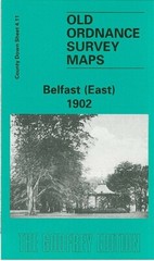
Belfast (East) 1902 County Down Sheet 4.11 by Barbara Morris

OS Outdoor Leisure Maps 19, 26, 27, 41 ~ Waterproof ~ North York Moors, Bowland
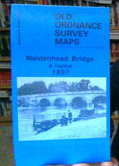
MAP OF Maidenhead Bridge & Taplow 1897 Berkshire Sheet 24.15 by Edward Sammes
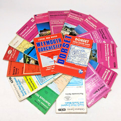
Bundle X17 Road, Walking & Street Maps of West Country O/S, Bartholomew etc

Bartholomew’s Map Cambridge Vintage 40s 1946 Paper Half Inch ½” Free Post UK

MID WALES 1947 Bartholowmew’s Half-Inch Contoured Map CLOTH Sheet 22 CTC Edition