
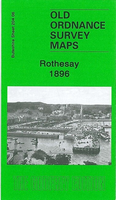
Rothesay 1896 Buteshire Sheet 204.06 by Gilbert Bell
USD 5.04 USD
Specifications
| Type | Street Map/Directory |
| Author | Gilbert Bell |
| Publisher | Alan Godfrey Maps |
| Topic | Local History |
| Subject | History |
| Country Of Origin | United Kingdom |
| ISBN | 9781847842558 |
This detailed map covers the town of Rothesay, on the Island of Bute. Most of the town is covered, with coverage extending from Mackinlay Street southward to St Mary's church. Features include Castle, Inner and Outer Harbours, saw mills, Ballochgay, tramway, Esplanade, Foley House, town centre shown in detail with buildings all neatly delineated, Barony Road area, Craigborach Wood etc. We include extracts from a trade directory on the reverse.
Related Items
Brecon Beacons by Ordnance Survey (Paperback Book)

North or South Hertford 1897 Hertfordshire Sheets 29.11 or 29.15

MAP OF CAMBRIDGE (EAST) INCLUDING ROMSEY TOWN 1925 CAMBS SHEET 47.03 NEW

Ordnance Survey Travel Map Road 4: Northern England (2003).
British Mountain Map Cairngorms Lochnagar Harvey BMC Approved Waterproof Tough
NEW FOREST- Ordnance Survey 1” Tourist Map
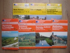
7 MAPS, 118 130 131 143 SHAFTESBURY SALISBURY ROMSEY EXPLORER ORDNANCE SURVEY OS

Ordnance Survey Map Of New Galloway 1955. Sheet 73