
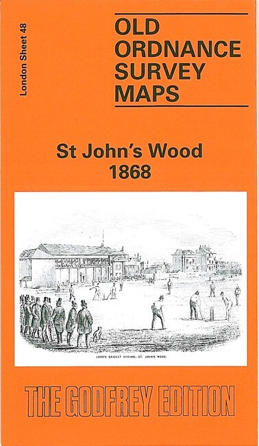
St John’s Wood 1868, 1893, 1913 or 1937 London Sheet 48
USD 4.73 USD
Specifications
| Date | 1868 |
| Type | Street Map/Directory |
| Publisher | Alan Godfrey Maps |
| Topic | Local History |
| Subject | History |
| Country Of Origin | United Kingdom |
We have published four versions of this map, showing how the area developed across the years. Lords Cricket Ground is in the centre of the map and other features include Hanover Terrace, Regents Park College, Blandford Square, St Dunstan's Villa, Sutherland Avenue, Maida Vale, St Augustine's church, Paddington Recreation Ground.
Related Items

Ordnance Survey Tourist Map of the Cairngorms – Paper Map – 1964 1 inch – 1 mile
Bournemouth and Swanage 1926 Sheet 141 – 1″: 1 mile Ordnance Survey – vintage

Taunton 1886 (Coloured Edition) (Somerset Sheet 70.12a) – Old OS Maps

Vintage Ordnance Survey Map Sheet 182 Brighton & Worthing Cloth Edition

MAP OF Wisbech & District 1907 One Inch Sheet 159 by Robert Malster NEW

Bishops Stortford 1896 Essex Sheet 22.15 by Pamela Taylor

ALSTONEFIELD Ordnance Survey Sheet SK15 1:25,000 1950 National Grid Tissington

Ordinance Survey map War Office sheet SE55 GSGS 4627 Yorkshire Edition 1 1956