

Witton le Wear & Witton Castle 1915 County Durham Sheet 33.16 by Alan Godfrey
USD 5.03 USD
Specifications
| Publication Year | 2021 |
| Type | Street Map/Directory |
| Author | Alan Godfrey |
| Publisher | Alan Godfrey Maps |
| Topic | Local History |
| Subject | History |
| Country Of Origin | United Kingdom |
| ISBN | 9781787214620 |
This detailed map covers the village of Witton le Wear with coverage extending eastward to Wear Valley Junction and High Grange. The map is double-sided for maximum coverage. Features include railway with Witton le Wear and Wear Valley Junction stations, engine shed, Marshall Green Colliery, Witton Castle, West Witton, Marshall Green, St Philip & St James church, The Green, Witton Tower, Witton Hall, Witton Bridge etc.
Related Items
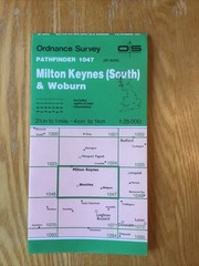
1992 Ordnance Survey Pathfinder Map 1047 SP 83/93 Milton Keynes South And Woburn

LINCOLN STREETPLAN – Vintage

Murder Maps USA: Crime Scenes Revisited, Bloodstains to Ballistics by Adam Selze

South Harrow & Northolt Park 1935 Middlesex Sheet 10.15 by Alan Godfrey

North Berwick 1906 Lanarkshire sheet 2.12 by Barbara Morris
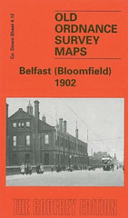
MAP OF Belfast (Bloomfield) 1902 County Down Sheet 4.12 by John Griffiths NEW

Cassini Historical Map Set. 3 Maps Matches O.S. Landranger 189. Ashford & Romney
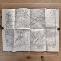
Vintage Ordinance Survey Map Sheet Oban & Loch Awe 1954 Antiquity Reprint