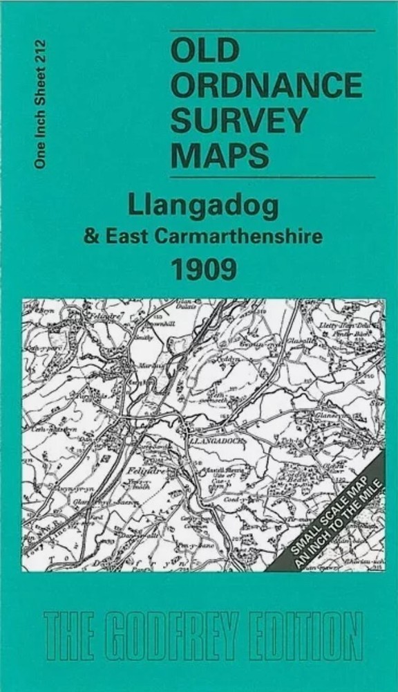
MAP OF Llangadog & East Carmarthenshire 1909 One Inch Sheet 212 by Alan Leather
Specifications
| Return Postage Will Be Paid By | Buyer |
| Returns Accepted | Returns Accepted |
| After Receiving The Item, Your Buyer Should Cancel The Purchase Within | 30 days |
| Type | One Inch Map |
| Publication Name | N/A |
| Author | Alan Leather |
| Publisher | Alan Godfrey Maps |
| Topic | Local History |
| Subject | History |
Here is information about Sheet 212: One Inch Sheet 212 Llangadog & East Carmarthenshire 1909 - published 2005; intro by Alan Leather. ISBN.978-1-84151-783-4This Inch to the Mile map covers the eastern area of Carmarthenshire around Llangadock (or Llangadog) and Llandovery. Coverage stretches from Brechfa eastward to Myddfai and Llandovery, and from Cilycwm southward to Llandilo (or Llandeilo). The Vale of Towy meanders through the map. On the back we include a section of Carmarthenshire Sheet 26.15 showing Llangadog itself in more detail. It is not possible to list the many hamlets, farmsteads and other topographical features shown on these maps. However, you may find it useful if we list the towns and principal villages or church parishes that are included on this map: Carmarthenshire: Brechfa, Caio, Cilycwm, Llanddeusant, Llandilo or Llandeilo, Llandovery, Llandyfeisant, Llanfihangel-Cilfargen, Llanfihangel-Rhos-y-corn, Llanfynydd, Llangadock or Llangadog, Llangathen, Llansadwrn, Llansawel, Llanwrda, Myddfai, Talley.
Related Items