
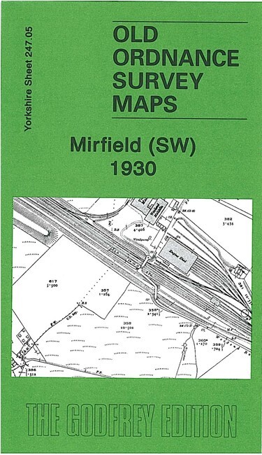
Mirfield SW 1930 or Mirfield & Ravensthorpe 1905 Yorkshire 247.05 or 247.06
USD 4.57 USD
Specifications
| Type | Street Map/Directory |
| Author | Alan Godfrey |
| Publisher | Alan Godfrey Maps |
| Topic | Local History |
| Subject | History |
This detailed map covers the central and eastern part of Mirfield, plus much of Ravensthorpe. Coverage extends from Mirfield station eastward to St Saviour's church Ravensthorpe, and from St Mary's church Mirfield southward to Hopton Bottom.
Related Items
MAP OF Sparkhill & Great 1913 Warwickshire Sheet 14.14 NEW 9781787210929
Derrick Pratt Liverpool and The Wirral 1904 (Map) (UK IMPORT)

Alan Godfrey Warrington 1905 (Map) Old O.S. Maps of Lancashire
North Reddish & SW Denton 1904 Lancashire Sheet 112.01 by Jill Cronin

Chris Makepeace Manchester (London Road) 1849 (Map)
The Times Atlas of World History (1981)

Bermondsey & Wapping 1872 or 1914 London Sheet 77
Market Harborough & District 1905 One Inch sheet 170 by Steph Mastoris