
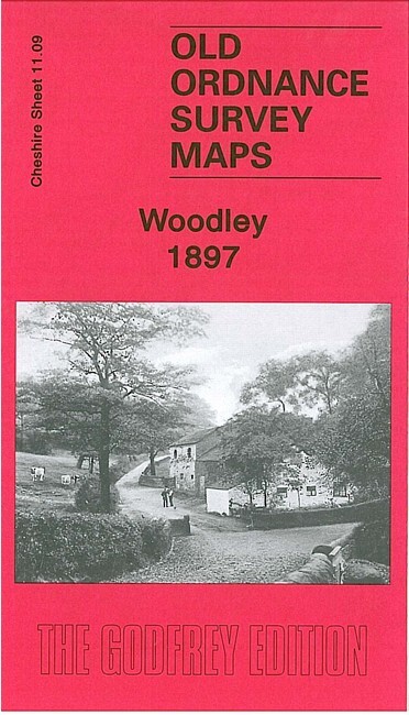
Woodley 1897 Cheshire Sheet 11.09 by Chris Makepeace
USD 5.05 USD
Specifications
| Type | Street Map/Directory |
| Author | Chris Makepeace |
| Publisher | Alan Godfrey Maps |
| Topic | Local History |
| Subject | History |
| Country Of Origin | United Kingdom |
| ISBN | 9781847843111 |
This detailed map covers the eastern part of Bredbury, with coverage stretching from Butterhouse Green and Woodley eastward to Greavefold. Features include Victoria Works, St Mark's church, Butterhouse Green area, stretch of Peak Forest Canal, Cheshire Lines Railway and Sheffield & Midland Joint Railway with Woodley Junction station, Heald Wood, Greavefold with Holy Innocents church, Botany Mill, Wood Mill, Manor House.
Related Items

The New Forest Official Map & Guide – 1996 – Scale 1:80,000 approx
1932 Ordnance Survey One Inch Contoured Road Cloth Map 94 Bicester & Buckingham

900 Antique Maps Collection UK Europe & the World Ancient Vintage Decor Frame

Ordnance Survey Map -Aberystwyth & Machynlleth -135 – 1:50000 – 2012 – Laminated

Axminster 1903 Devon Sheet 72.05 by Richard Oliver
John Griffiths Leeds, Wetherby and District 1910 (Map) (UK IMPORT)

A-Z Folding Map Street Plan of LINCOLN Geographer’s

NORTH SOMERSET Bartholomew Revised Contoured Half Inch Map No 7 Paper 1954