
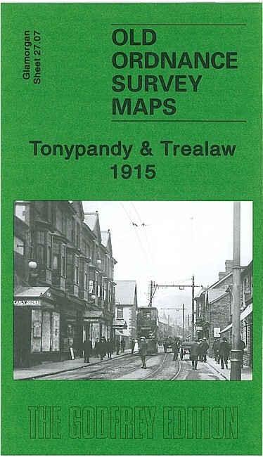
Tonypandy & Trealaw 1915 Glamorgan Sheet 27.07 by Derrick Pratt
USD 5.04 USD
Specifications
| Type | Street Map/Directory |
| Author | Derrick Pratt |
| Publisher | Alan Godfrey Maps |
| Topic | Local History |
| Subject | History |
| Country Of Origin | United Kingdom |
| ISBN | 9781847842558 |
This detailed map continues our coverage of the Rhondda Valley. It covers most of Tonypandy and Trealaw, and the southern part of Llwyn-y-pia. Features include a stretch of Taff Vale Rhondda-Faw Branch, with stations, sidings etc; Nantgwyn Coal Pit, football ground, Pandy Coal Pit, Anthony Coal Pit, Brith-weunydd, All Saints church, Mynydd Brith-weunydd, GWR Ely Valley Branch, Rhondda River, cinemas, St Andrew's church, tramways, terraced housing neatly shown, etc. On the reverse we include a commercial directory of Tonypandy.
Related Items

Ordnance survey map Landranger sheet 160 series Brecon Beacons scale 1:50 000
BARNETT Street Plan of Basildon (Pitsea, Laindon, Vange etc) Vintage Map

Bournemouth Street Maps x 3, Published by Tourism Department/Services 1990/92/97

Billingham (South) 1939 County Durham Sheet 51.05 by Alan Godfrey
Ordnance Survey 174 Bude New Popular Edition 1946 OS map sheet
Vintage OS Landranger Maps Bundle: Chichester, Bournemouth, Saxmundham 1:50k

Ordnance Survey Tourist Map Lake District 1970, rare cover with Ashness Bridge

Antique Ordnance Survey 1m:1in Sheet Map on Linen No.60 Shrewsbury 1921